News & Events
Stay updated with the latest progress, milestones, and activities from the DEXIT consortium.

Date
26 - 28 January 2027
Capacity Building & Digital Excellence Workshop
Key Objectives
- Development of advanced digital frameworks for tourism and hospitality initiatives.
- Regional consortium review, partner evaluations, and strategic milestone planning.
Location & Date
Lund, Sweden | 9 - 12 Jun 2026
1st DEXIT Thematic Training Held at Lund University, Sweden
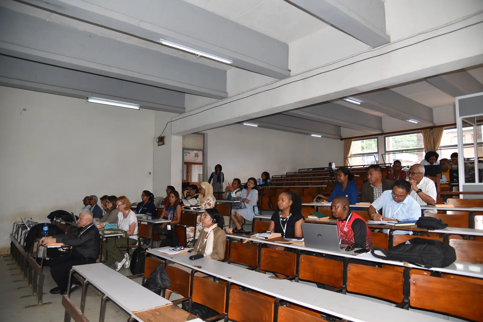
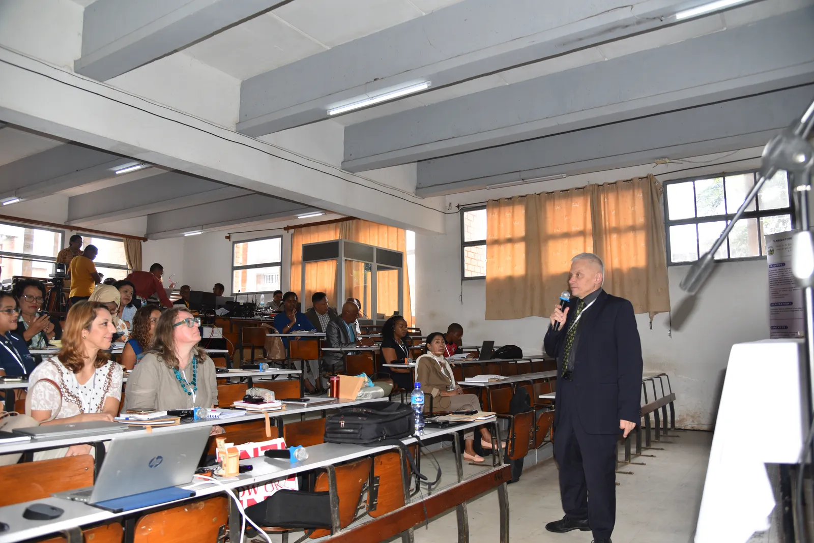
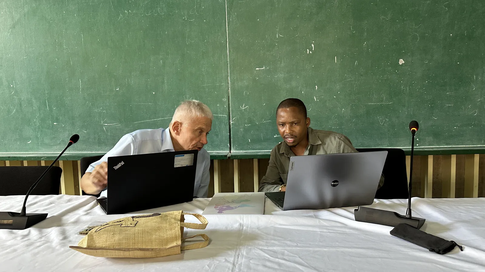
From 9 to 12 June 2026, Lund University in Sweden hosted the 1st thematic training of the Erasmus+ CBHE DEXIT project. The training brought together project partners from Croatia, Cyprus, Mauritius, Lesotho and Madagascar for four days of learning, practical exercises, exchange of experience and joint work on future project activities.
Summary
The training focused on IT and GIS technologies and their application in the tourism and hospitality sector, with special emphasis on geospatial monitoring tools and practical examples relevant to the African partner countries. Through a combination of lectures, demonstrations and hands-on exercises, DEXIT project staff had the opportunity to strengthen their digital and geospatial competences and discuss how these tools can be integrated into teaching and future curriculum modules.
The first day opened with sessions on e-learning concepts, delivered by Kyriakos Georgiou from the University of Nicosia. The programme then continued with an introduction to GIS and spatial thinking, including maps, layers and examples from tourism planning. The theoretical part was followed by practical exercises in QGIS, guided by Rachid Ouchiekh from Lund University, where participants worked with basic GIS tools, added layers, edited vector data and created a simple tourism map.
The second day focused on creating a simple tourism map. Participants learned more about vector data in tourism, including points, lines, polygons, attributes and examples from ecotourism sites. During the practical sessions, they imported tourism sites, styled spatial data, added roads, settlements and protected areas, and prepared map layouts with key cartographic elements such as title, legend, scale bar and north arrow.
The third day was dedicated to basic GIS analysis for tourism. Pengxiang Zhao from Lund University introduced participants to spatial analysis based on vector data, including proximity, buffer and overlay analysis, followed by practical exercises related to accessibility analysis for tourism attractions. The afternoon session focused on raster data, including digital elevation models, terrain visualisation, slope, aspect and hillshade analysis, with examples related to scenic hiking routes in mountainous regions.
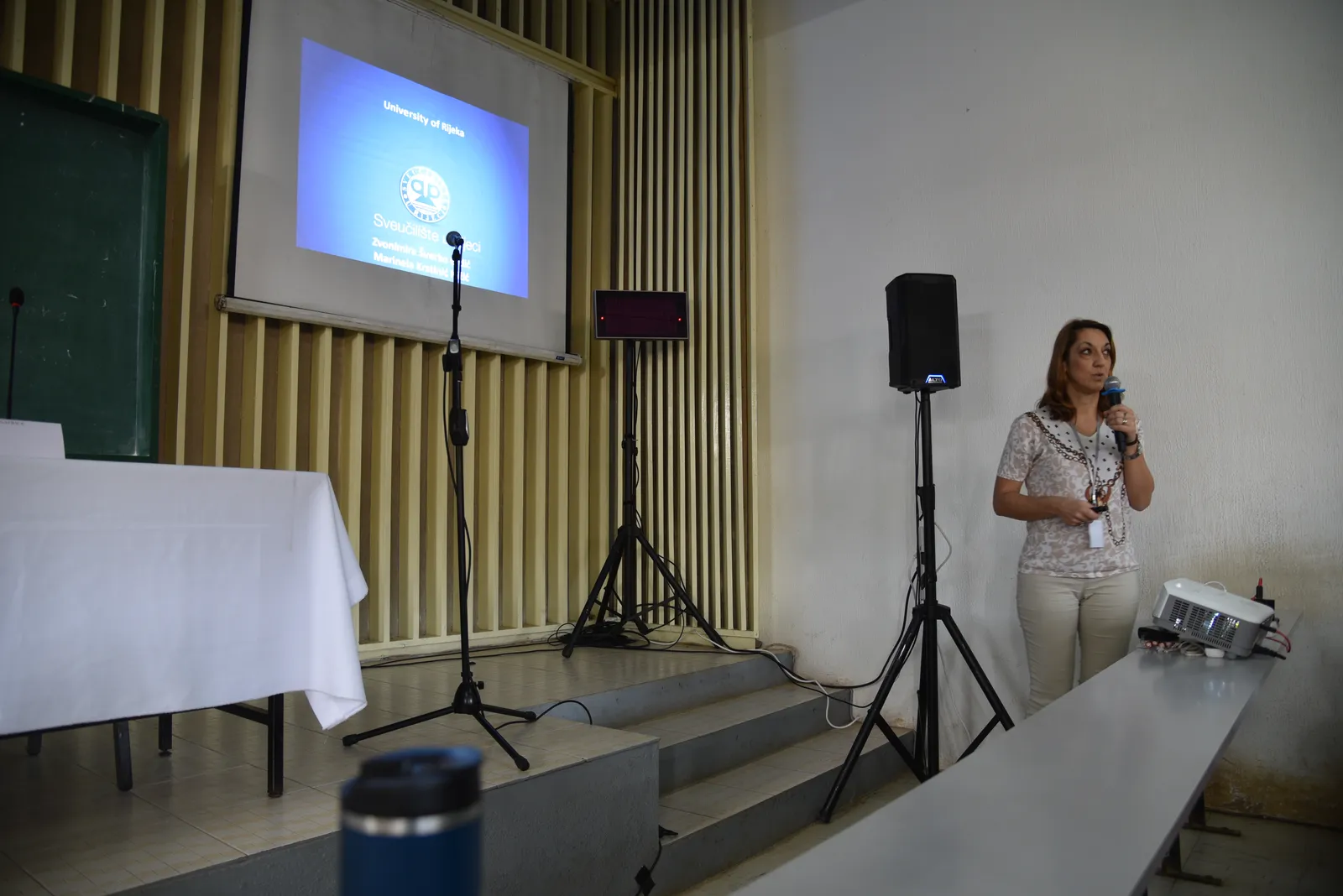
During the training, colleagues Zvonimira Grdic and Marinela Nizic from the University of Rijeka presented the results of the questionnaire distributed among partners regarding the implementation and expectations related to the establishment of Centres of Competitiveness. This provided an important opportunity to connect the technical training with the broader institutional and educational objectives of the DEXIT project.
The final day included a GIS wrap-up session, key lessons learned and discussions on how to teach GIS at beginner level. The programme concluded with a project management meeting and preparations for upcoming project activities.
Together, these four days created valuable momentum for the next stages of the DEXIT project. Partners exchanged knowledge, aligned priorities, translated training insights into course-ready ideas and strengthened cooperation between institutions. With this foundation in place, DEXIT continues moving from training to teaching, from planning to pilot modules, and from discussion to implementation.
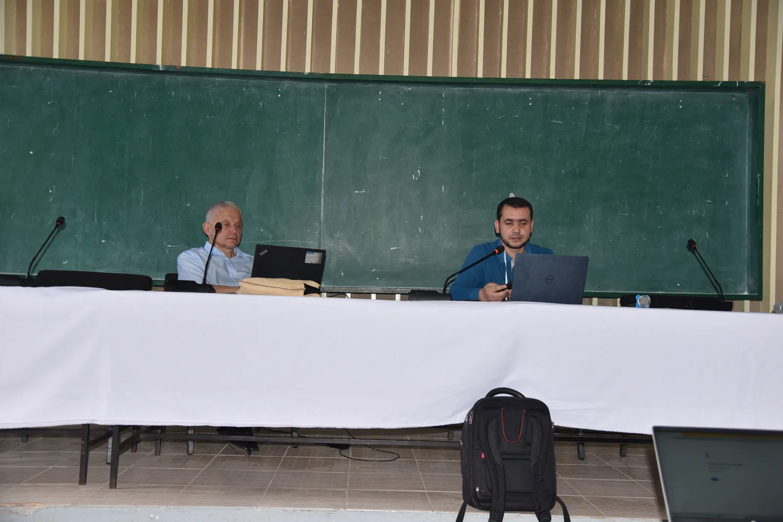
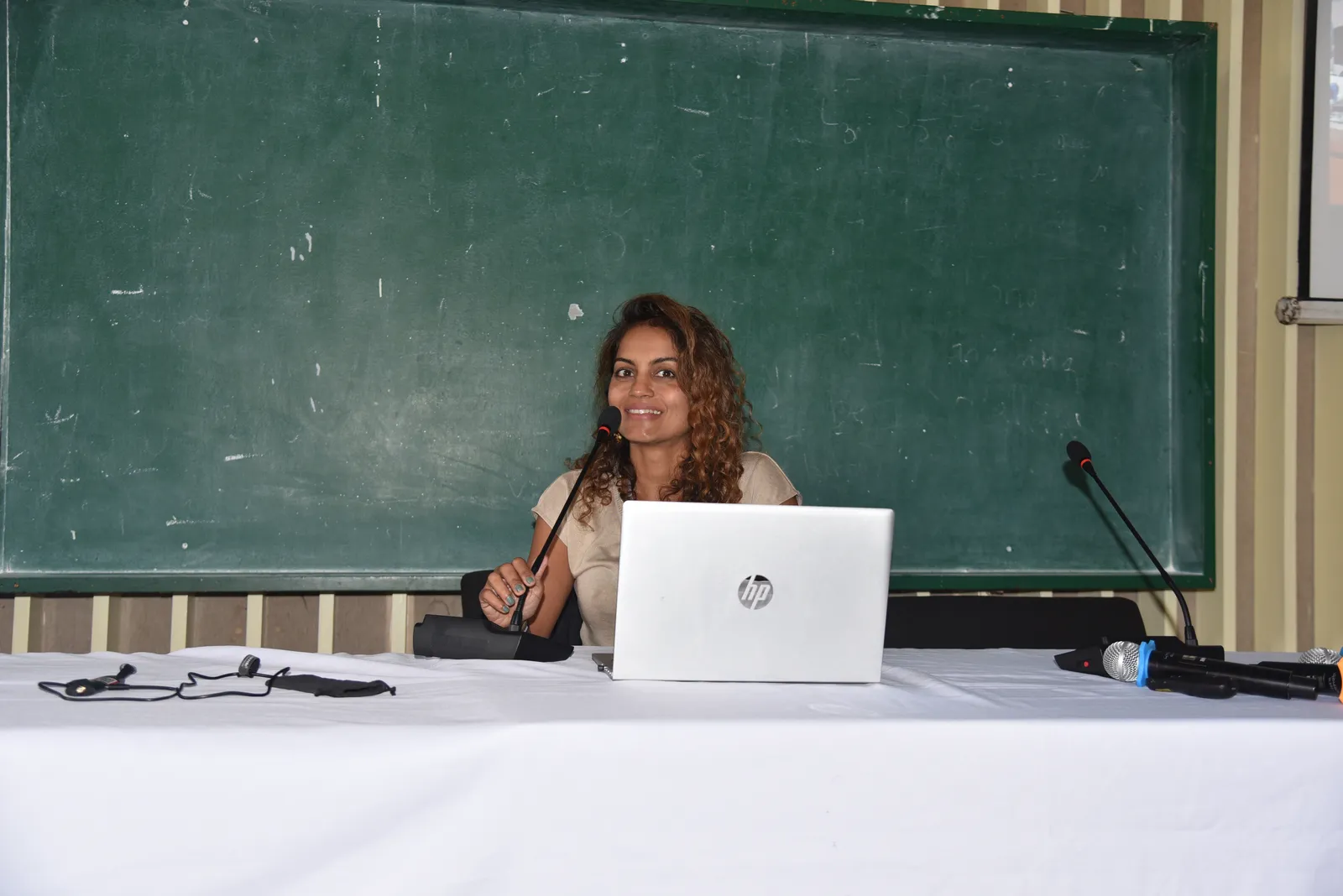
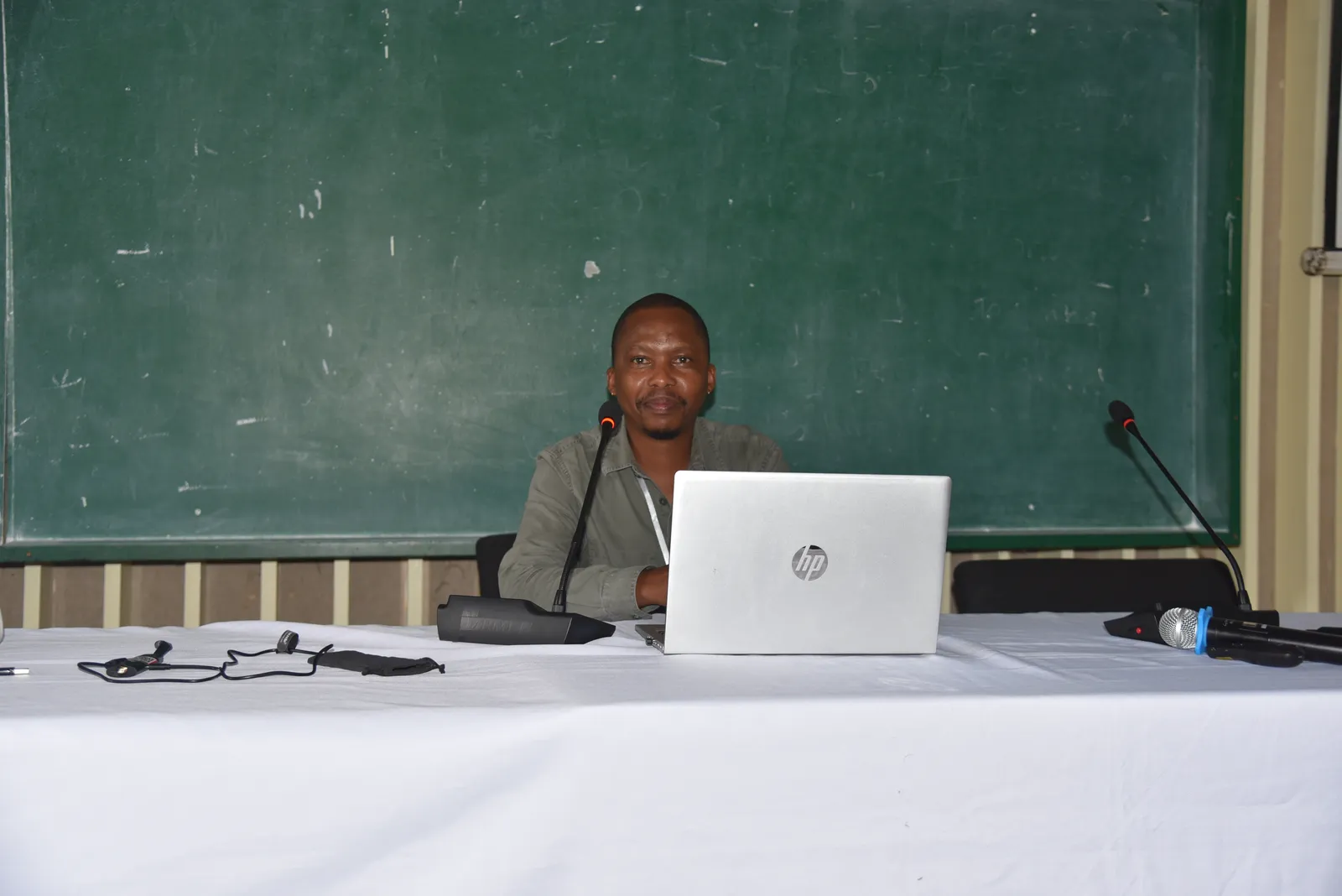
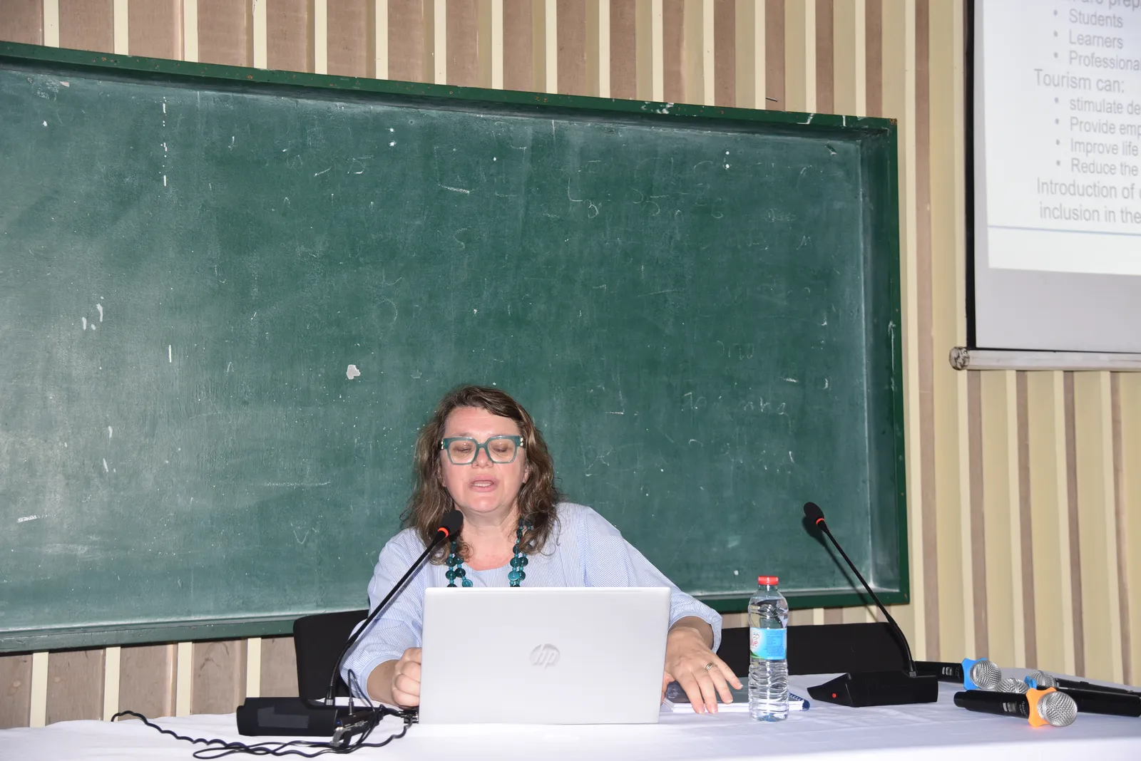
Photo Gallery
Location & Date
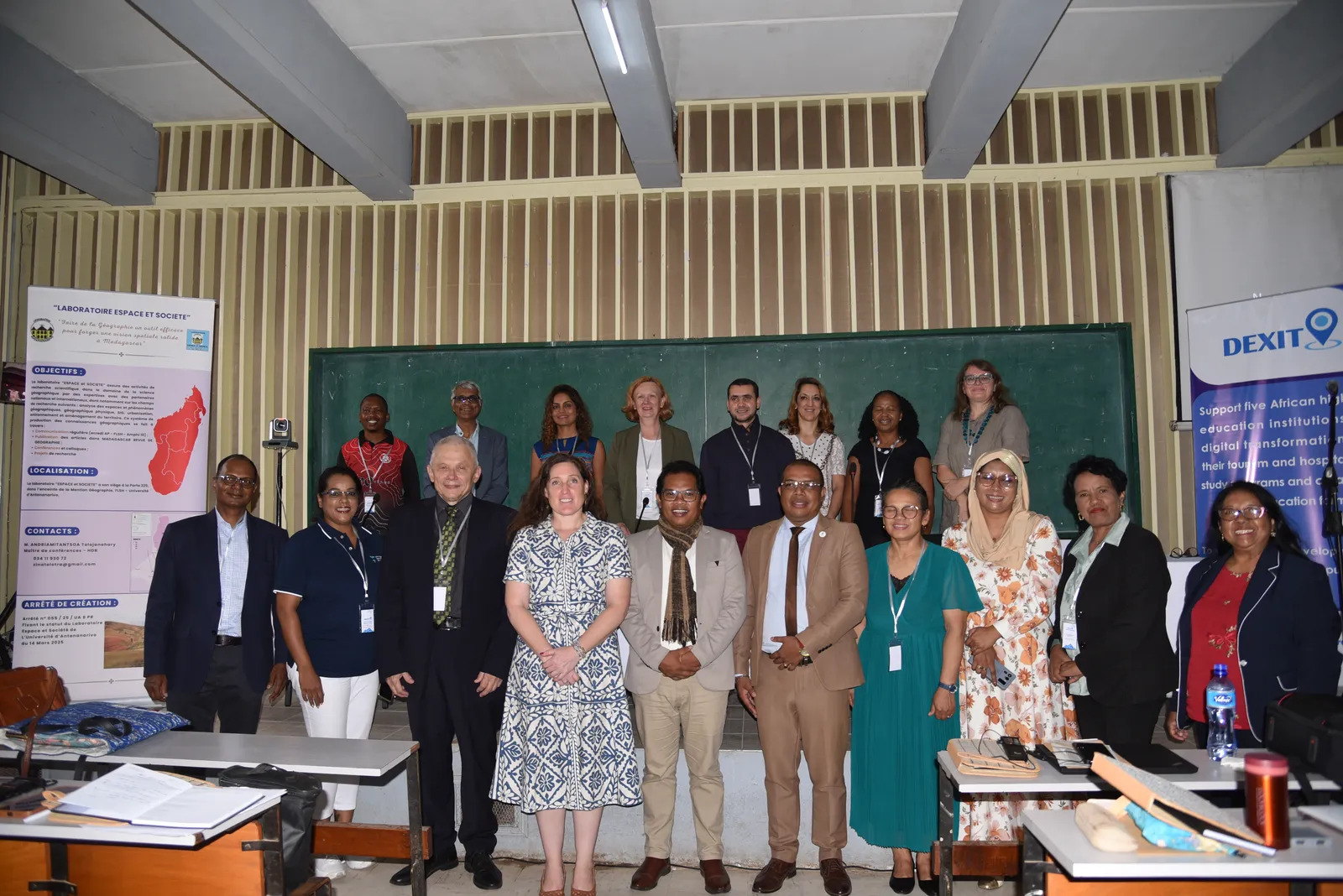
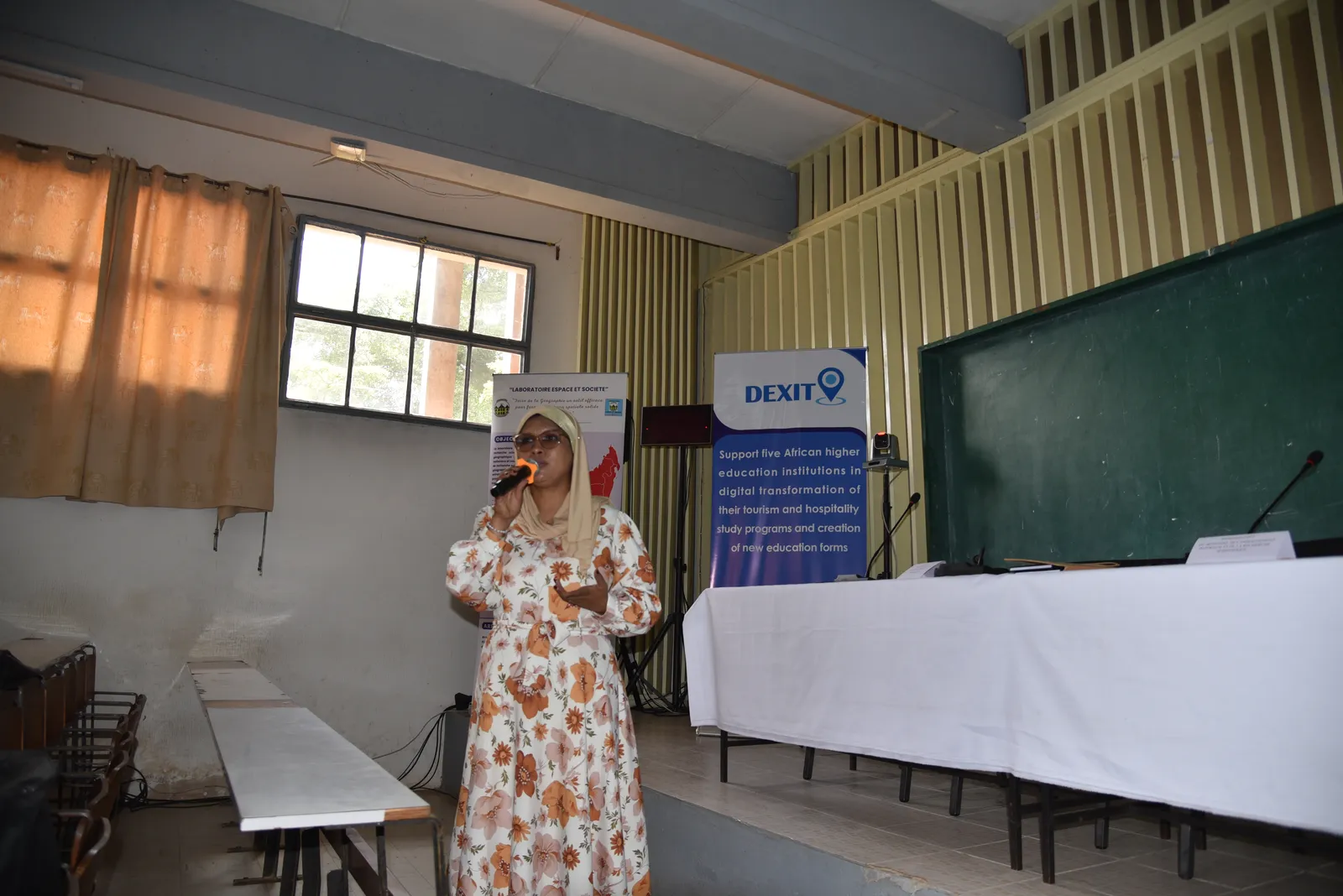
Antananarivo, Madagascar | 25 - 27 Feb 2026
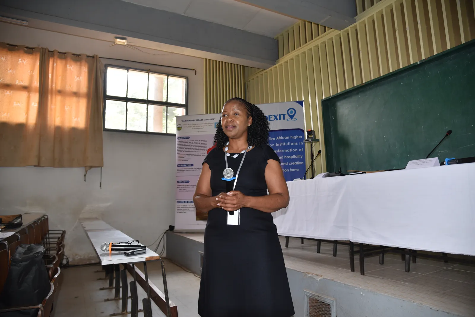
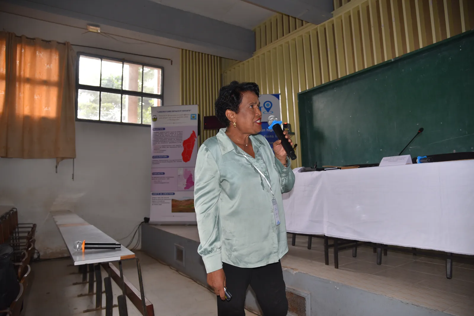
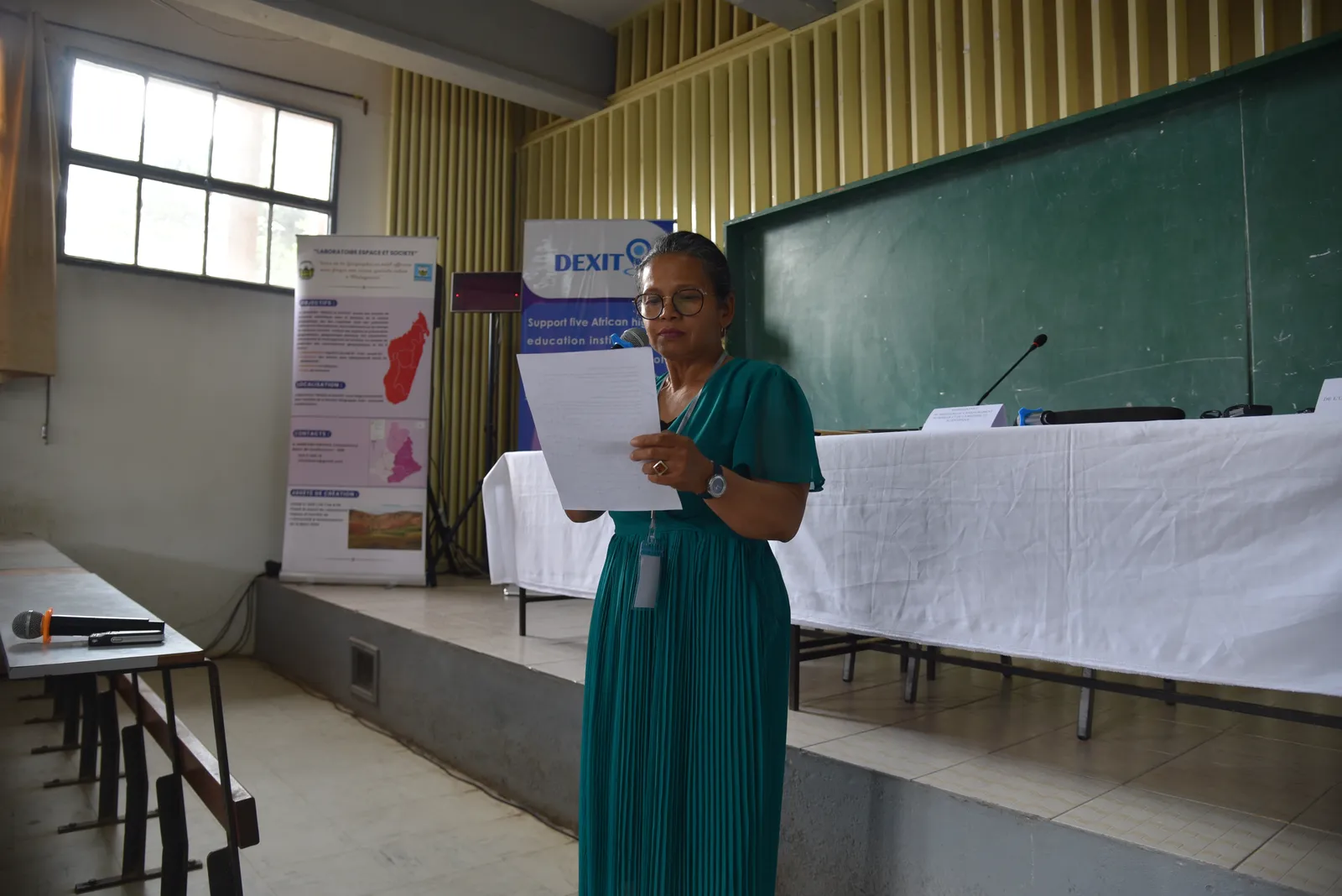
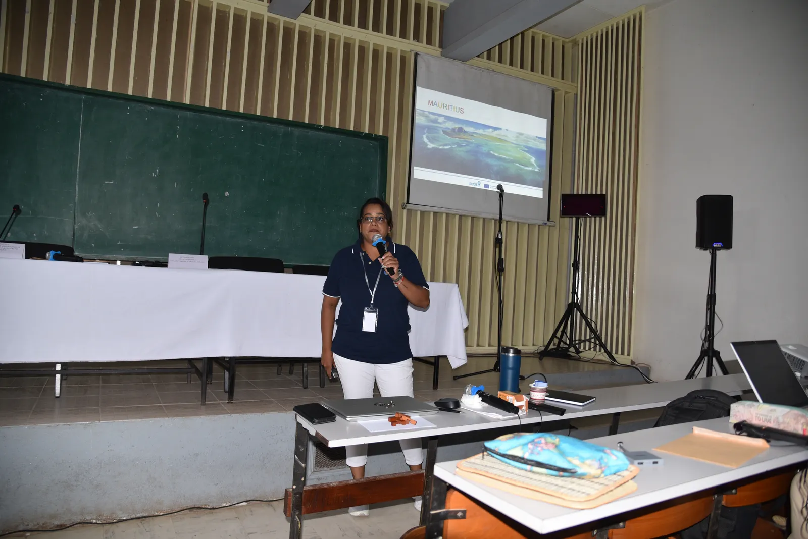
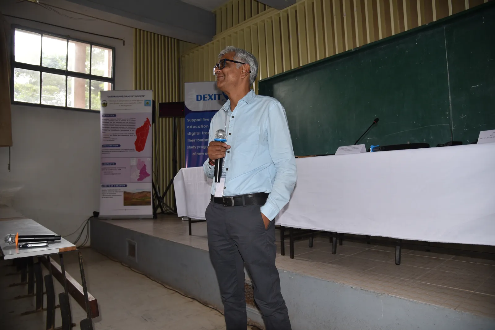
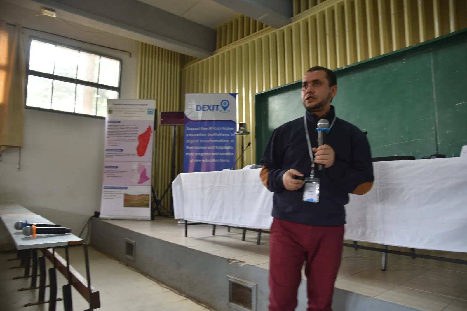
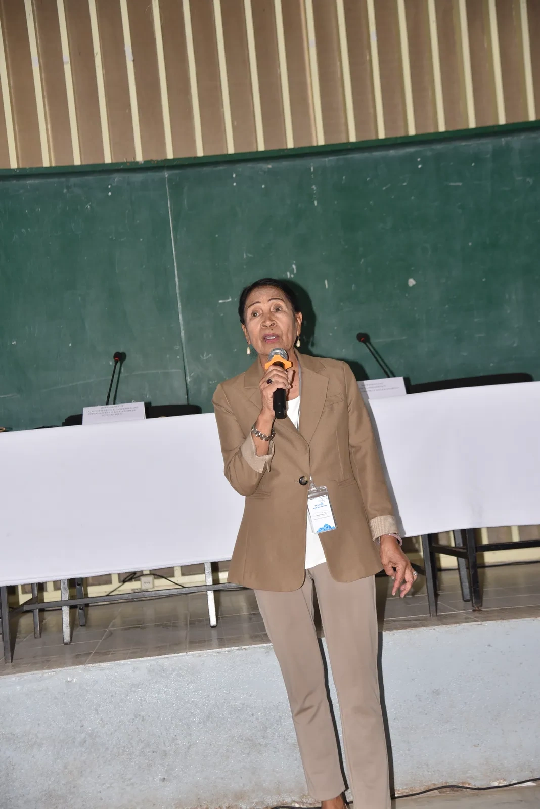
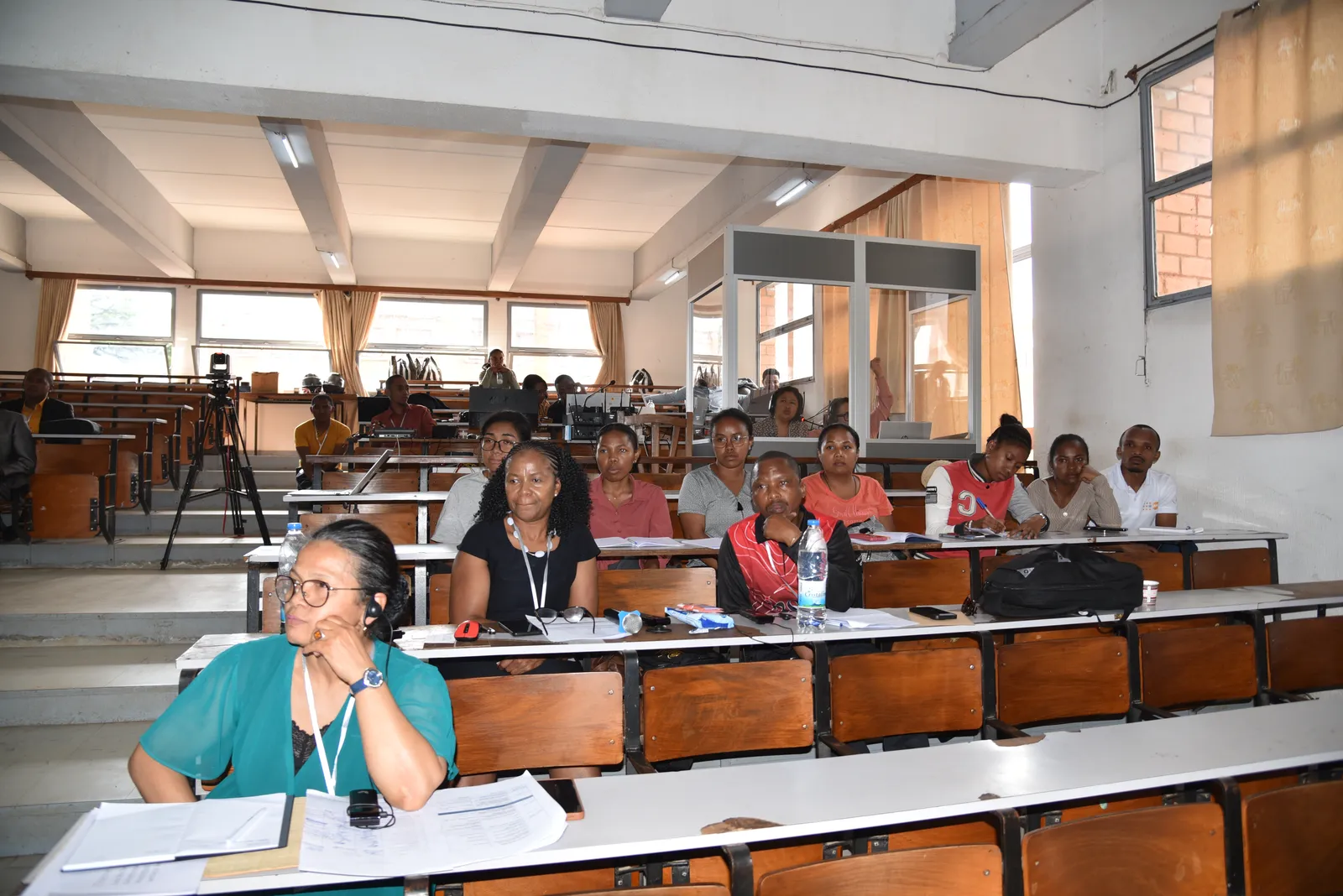
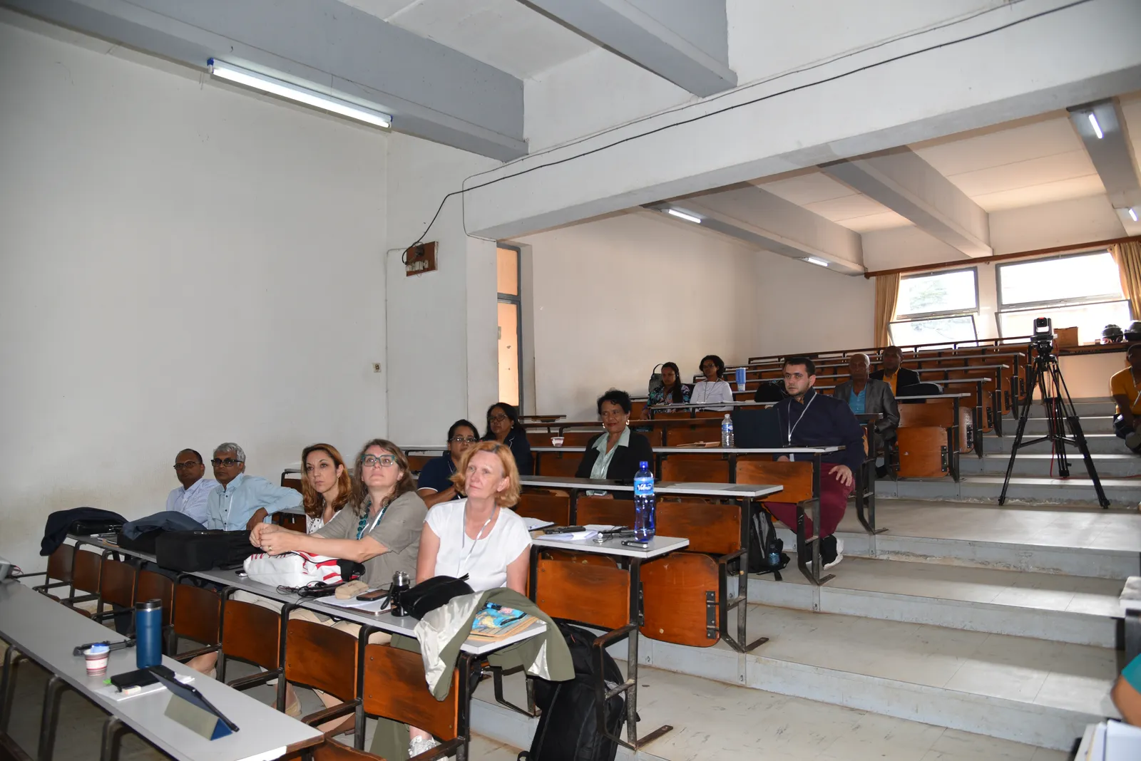
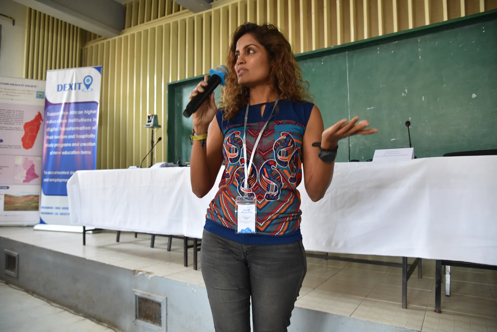
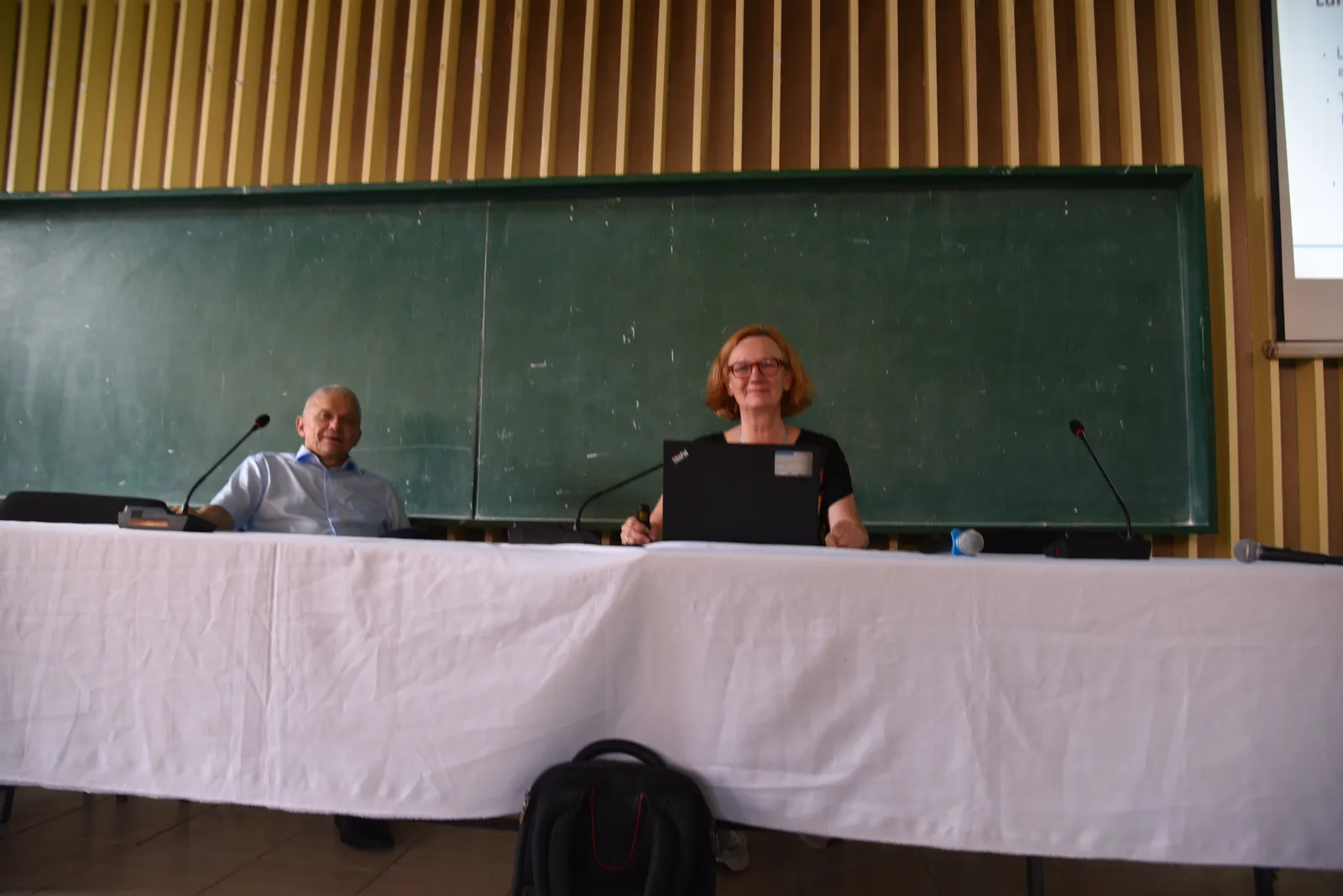
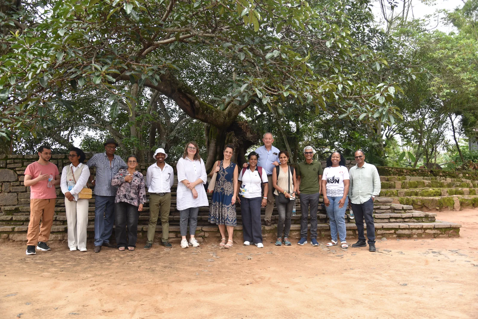
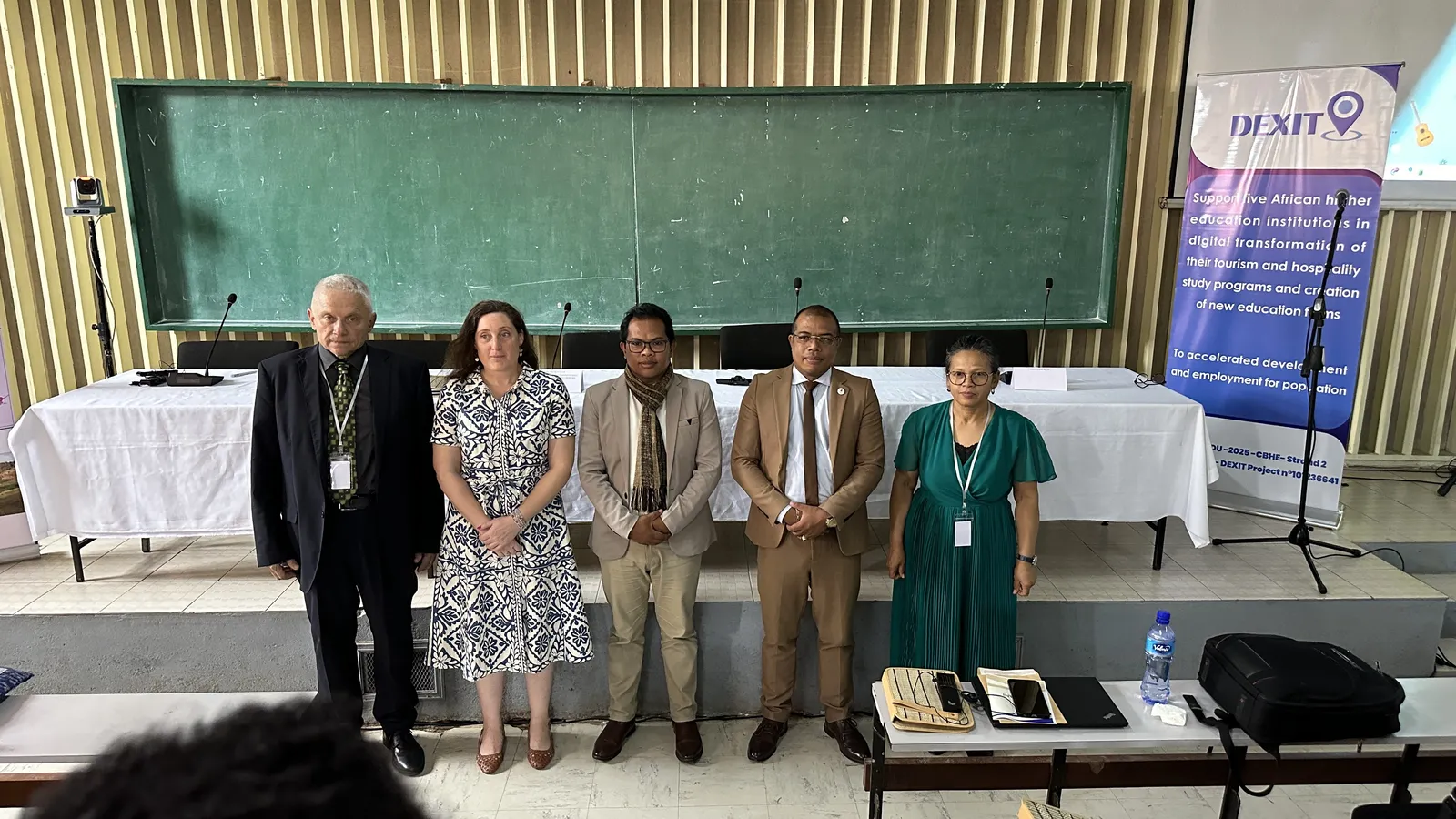
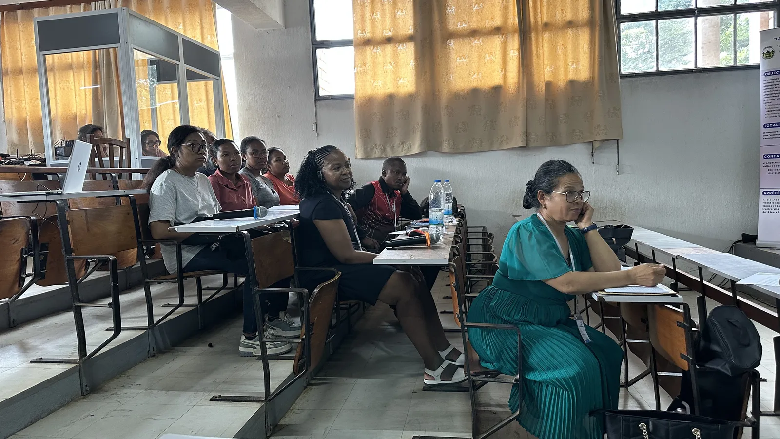
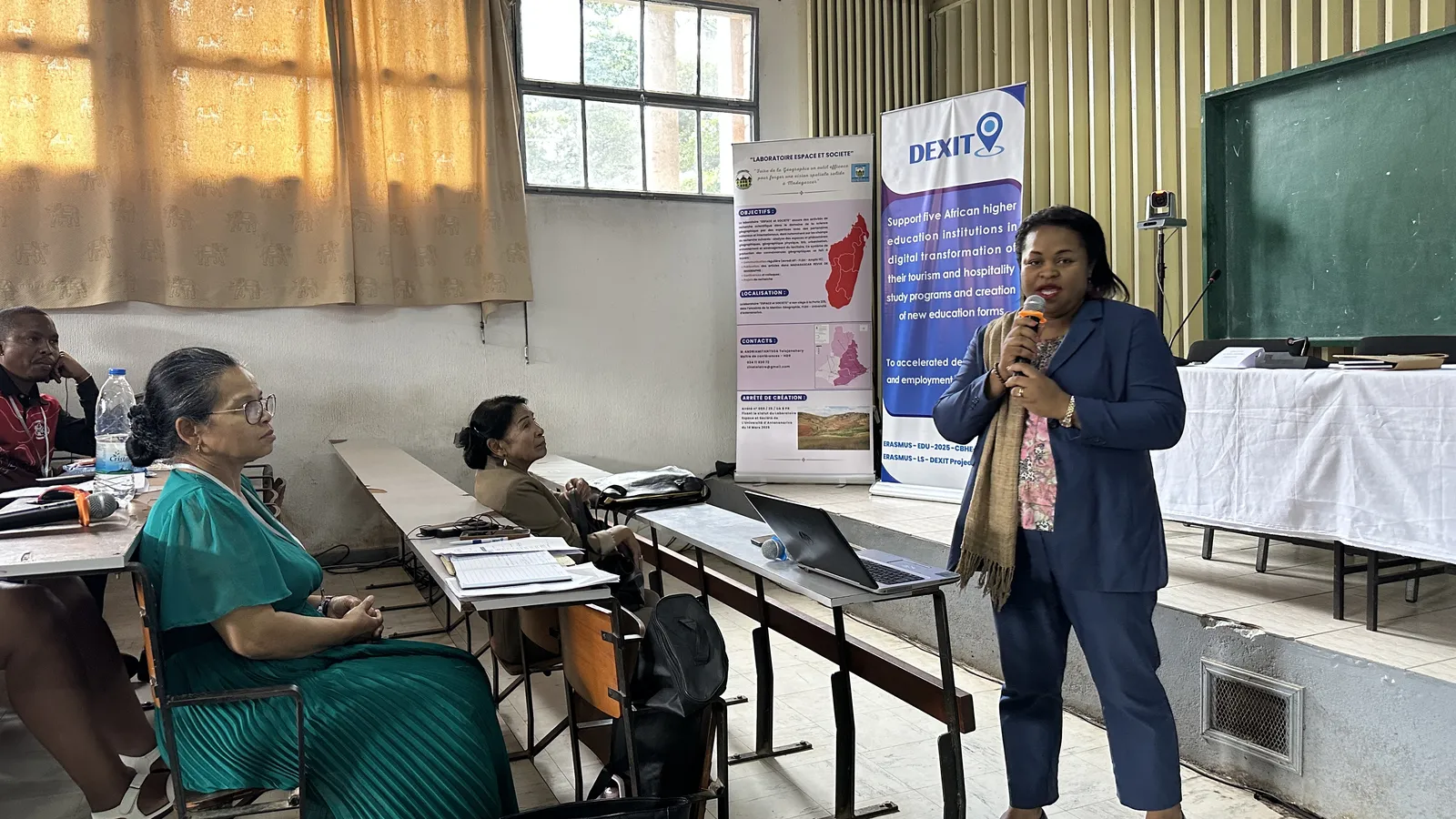
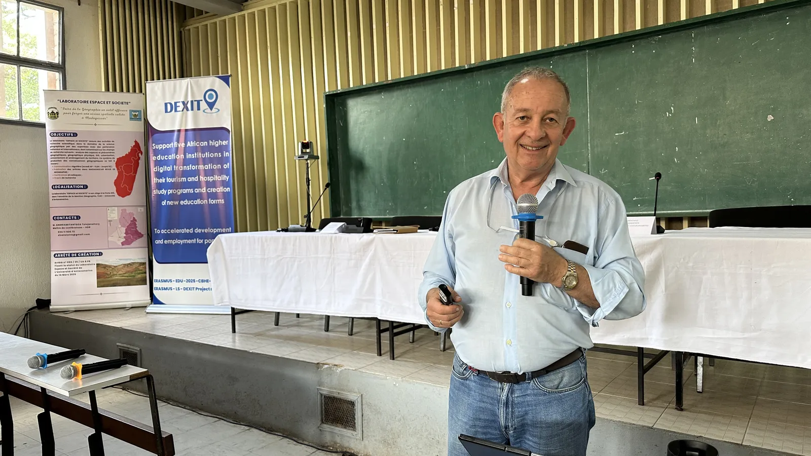
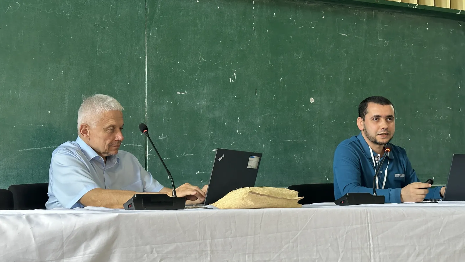
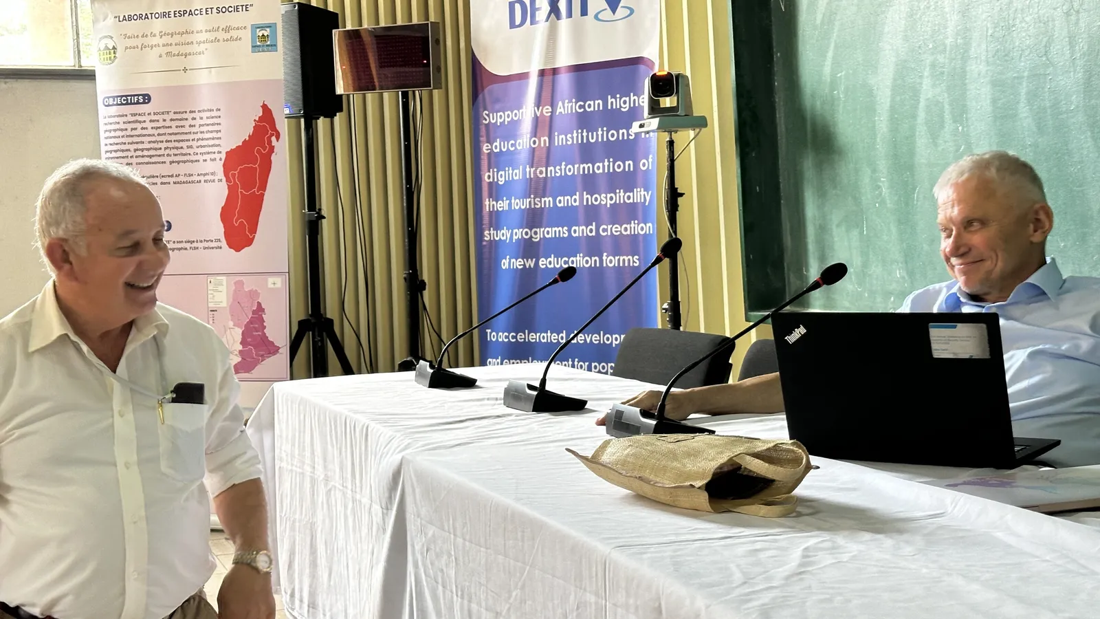
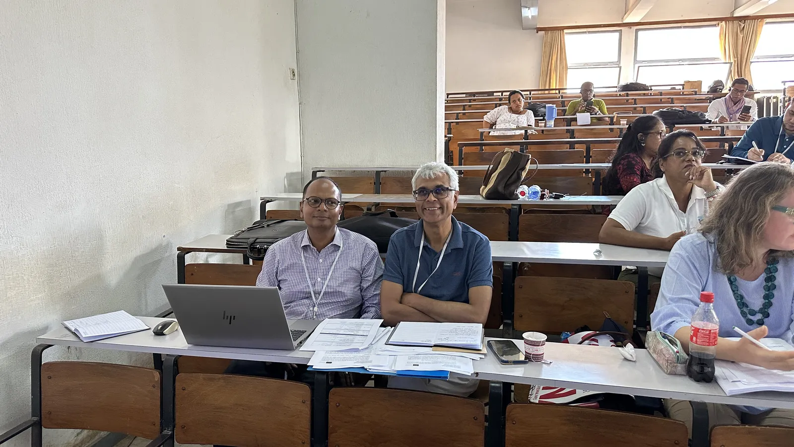
DEXIT Official Kick-Off Meeting
"At the start of the meeting the project coordinator expressed great satisfaction with excellent preparations made by University of Antananarivo and with the fact that all partners were present and actively engaged in the discussions!"
Summary
A to-do list for the project was presented an unanimously approved by all participants. The need to finish any pending activities was emphasised (complete PA, upload of team members in PMP, etc.).
Photo Gallery